© Copyright TERR.A.IN. 2013 · All rights reserved
Surface Surveys
TERR.A.IN. offers solutions for the survey,the analysis and the exploitation of the anthropic and natural components on the territory.
Thanks to different methods, such us the survey of land, the laser scanner survey, the geophysical and environmental investigations, TERR.A.IN. works in the following fields: Exploitation of Cultural and Architectural Heritage, Prevention, Risk Monitoring, Environmental Characterization and Geomorphological reconstruction.
Topography
Land, architectonic and civil structures surveys.
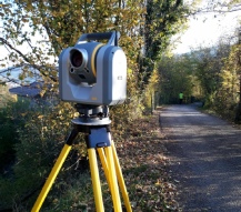
Through our advanced instrumentation we provide the run and the plotting with CAD or GIS frameworks of topographic precision surveys of the territory and anthropic structures.
- Total Station
- GPS
- Laser Scanner
Architecture
Survey of objects of archaeological and architectonic interest.
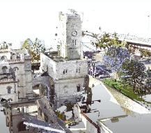
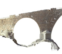
In the architectonic field, we carry out our surveys using the Laser Scanner and we provide 3D models, plans, sections, prospecting of the construction together with building peculiarities and photographic atlas needed for engineering, renewal and restoration of the heritage.
- Laser Scanner
- Thermography
- Topographic surveys
Furnishings
Preventive surveys of structures / houses and monitoring of the work in progress.
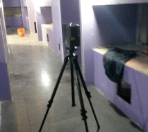
Through our surveys, we offer valuable support to companies and architects involved in the design of the interior furnishings allowing you to access any measure of the building and at any time
- Laser Scanner
- Architectural Surveys
- 3D Model
Geomorfology
Survey of the geomorphological and geometric features of the territory and quantification of variations over time.
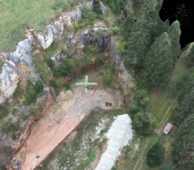
Thanks to technologies like the Laser Scanner and the GPS used in geology, we are able to investigate and monitor the various natural formations (hillsides, landslides, valleys, etc.), thus allowing the survey of their geomorphological and geometric features together with the quantification of the variations over time.
- Geomorphological surveys
- Topographic Survey and monitoring
- D.T.M.
Valorisation
Surveys aimed at enhancing and promoting tourism in buildings with historical and architectural value
Through appropriate photo shoots, the use of laser scanners and management with dedicated software, we produce Virtual Tours, 3D models and Emotional Video
- Geographic Information System
- CAD
- Terrain Digital Model
Bathymetry
Survey of the geometric features of lake-
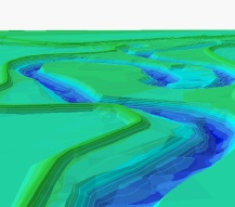
By using boats and specific instruments, we investigate the geometry of lake-
- Eco depth finder
- Bathymetry
- 3D Model
Prevention
Surveys with legal validity of structures and housing and monitoring during construction
We plan surveys of buildings to analyze the structural, morphological and geochemical feature.
We check deviations from the expectations of the client
- Laser Scanner
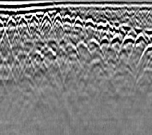
- GPR of Structures
- Environmental Characterization plans
Engineering
Surveys aimed to 3D reproduction of the geometry and properties of the detected items.
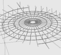
Through the integrated use of advanced laser scanners and software, we are able to create 3D models manageable and implementable
- Laser Scanner
- Virtual Tours
- 3D Model
Surface Surveys
Territorial Applied Inspections
“Direct and indirect surveys to analyse and measure the anthropic
and natural elements”
+39 347 5036 454

